Geosun gAirHawk Series GS-260X LiDAR Scanning System City Construction 3D Modeling High Accuracy Colored Point Cloud
Geosun GS-260X UAV LiDAR Aerial Mapping Drone Surveying City Construction 3D Modeling
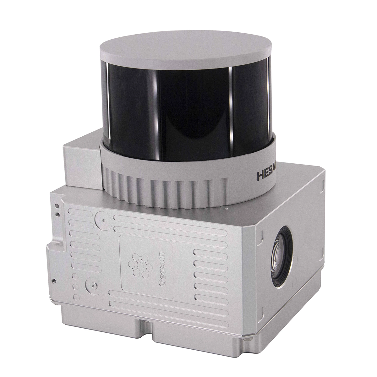
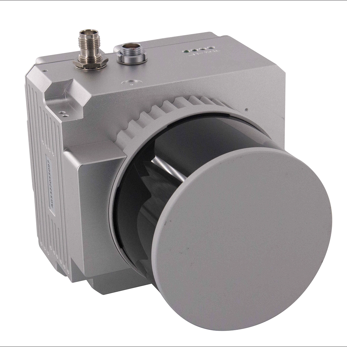
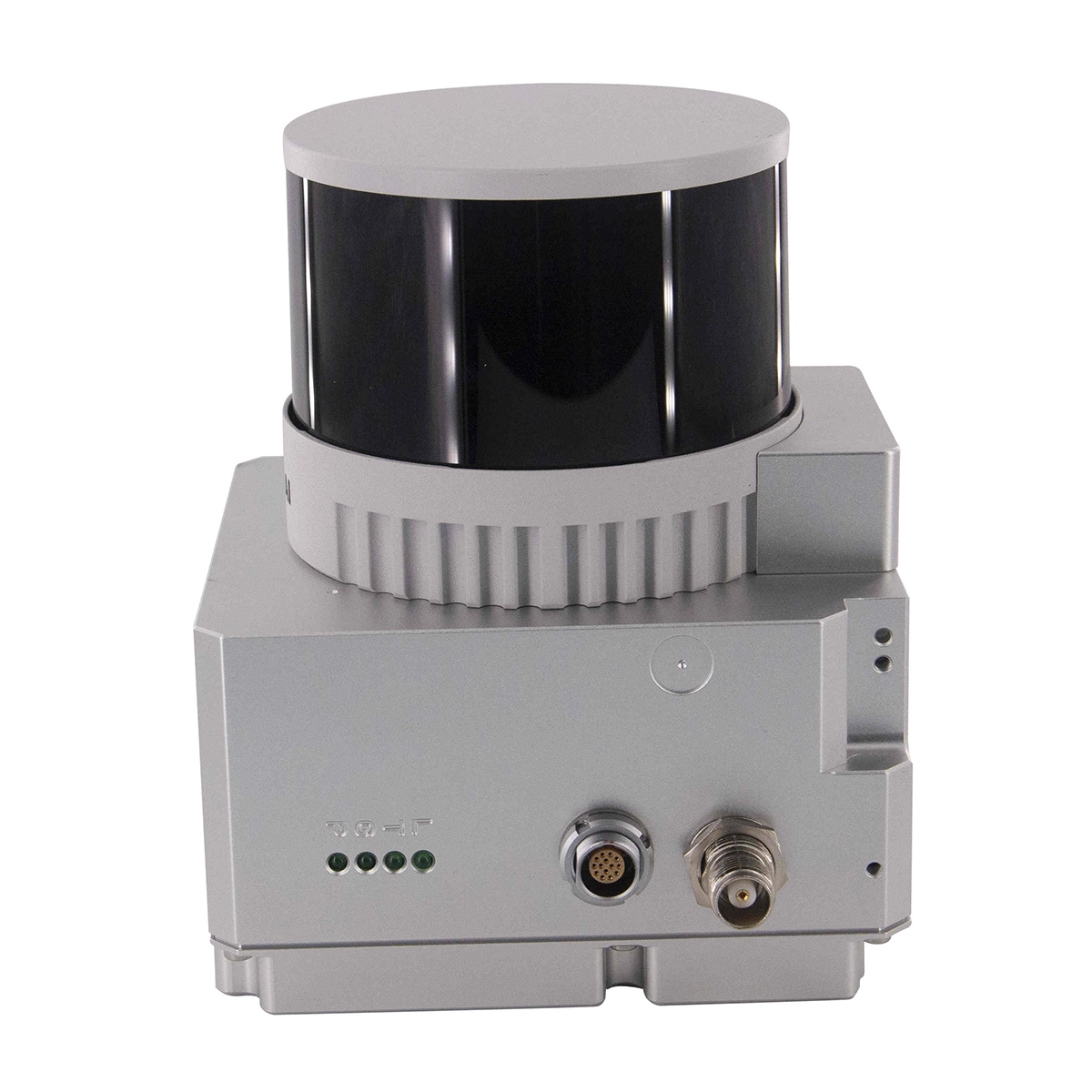
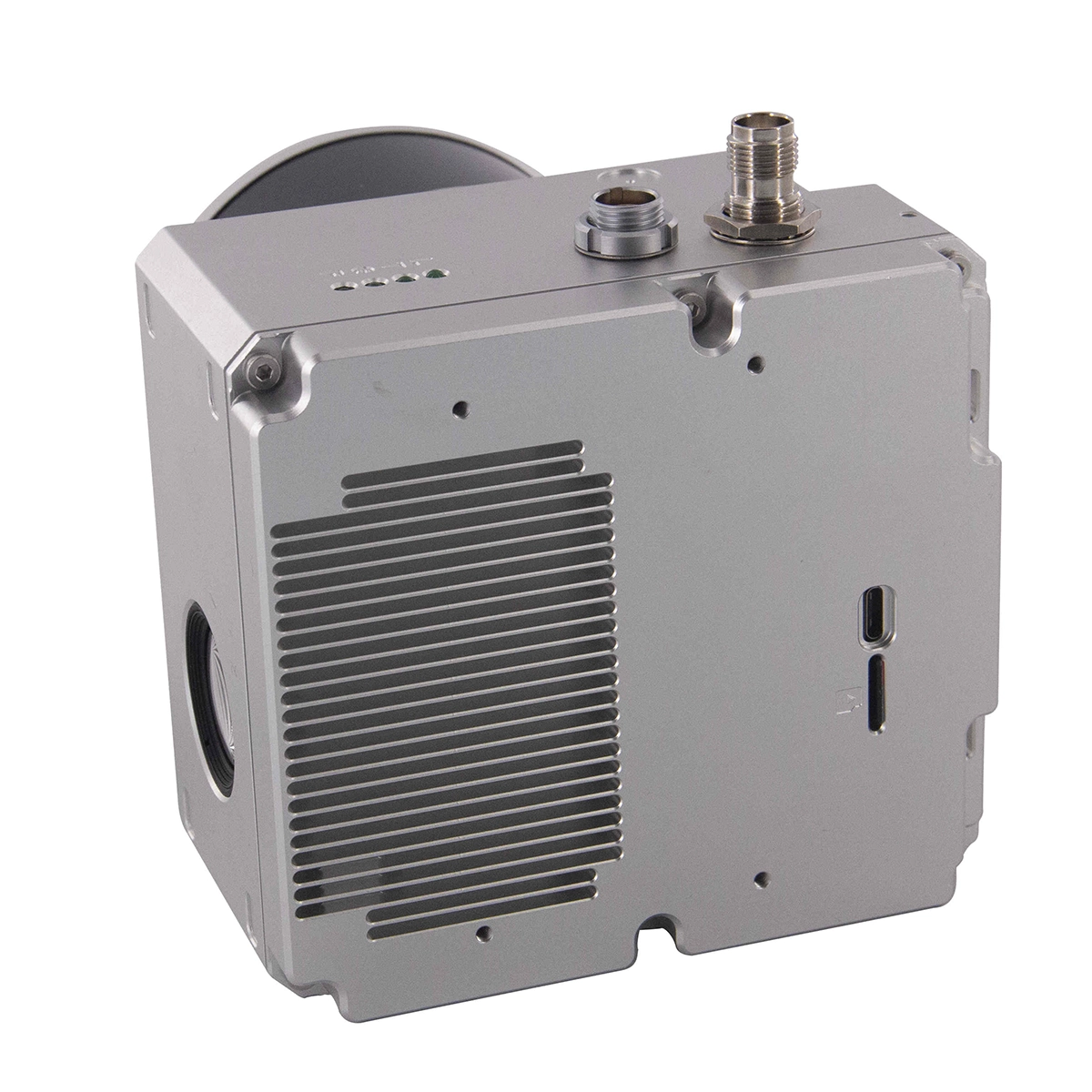
Geosun gAirHawk LiDAR Scanning System GS-260X
gAirHawk GS-260X is a kind of middle-range, compact LiDAR point cloud data acquisition system, integrated HESAI 300m laser scanner, GNSS and IMU positioning and attitude determination system, and storage control unit, is able to real-time, dynamically, massively collect high-precision point cloud data and rich image information. It is widely used in the acquisition of 3D spatial information in surveying, electricity, forestry, agriculture, land planning.
For more specification please check here: gAirhawk GS-260X.pdf
Applications of LiDAR Scanning System GS-260X
The customer requested 3d modeling for building and choosed GS-260X to take this task.
As buildings height is 90m, we setted the drone flight height 130m.
After processing data, the customer were very satisfied with complete point cloud and root mean square(4.6cm).
Meanwhile, GS-260X did another flight surveying for the park near buildings.
Continual point cloud under trees was very obvious and the output colored point cloud accurately represented the real view.
| Weight: | 1.15kg | Dimension: | 14.2*10.9*12cm |
|---|---|---|---|
| Working Temperature: | -20°~+55° | Material: | Aluminum Alloy Body |
| Channel: | 32 Channels | Operation Efficiency: | 1.6 K㎡ / Single Flight |
| Application: | Forestry, Power Line Patrol, Historical Relics | Carrying Platform: | Vehicle/Multi-Rotor/VTOL |
| Storage: | 64GB Max Support 128GB TF Card | POS Software: | Shuttle |
| Point Cloud Software: | GAirHawk | ||
| Highlight: |
GS-260X UAV LiDAR Scanning System, UAV LiDAR Scanning System HESAI XT 32, 26MP lidar data acquisition system |
||
Spesifikasi
| LiDAR Scanning System gAirHawk GS-260X | ||
| Item Name | System Parameters | |
| GS-260X
Parameters |
Weight | 1.15 kg |
| Measuring accuracy | Less than 0.1m/0.05m(@150m) | |
| Working temperature | -20℃~+65℃ | |
| Power range | 12 V- 24 V | |
| Consumption | 10 W | |
| Carrying Platform | DJI M300, M600 PRO and Other brand | |
| Storage | 64 GB storage, maximum support 128GB TF card | |
| Lidar Unit
|
Measuring Range | 80m@10% Reflectivity (Max 300m) |
| Laser class | 905nm Class1 (IEC 60825-1:2014) | |
| Channel | 32-Channel | |
| Range accuracy | ±1cm (typical Value) | |
| Scanning frequency | 10HZ, 20HZ | |
| data | Trible echo 1,920,000 Points/Sec | |
| FOV | 360°, adjustable | |
| Laser sensor | HESAI Pandar XTM2X | |
| POS Unit | Update frequency | 200HZ |
| Heading accuracy | 0.017° | |
| Pitch accuracy | 0.005° | |
| Rolling accuracy | 0.005° | |
| Position accuracy | ≤0.05m | |
| GNSS signal type | GPSL1/L2/L5 GLONASSL1/L2 BDS B1/B2/B3 GAL E1/E5a/5b | |
| Pre-processing software | POS software | Output information: position, speed, attitude |
| Point cloud software | Output point cloud data format: LAS format, custom TXT format | |
| Camera
(built-in) |
FOV | 83 Degree |
| Effective Pixel | 26 Mega Pixel | |
| Trigger event | Distance or Time trigger | |
Video
Dokumen
 Pusatdrone.com
Kompleks Ruko 66, Jl. Pinangsia Raya Ruko No.66F, RT.3/RW.5, Pinangsia, Kota Jakarta Barat
-
barang original dan baru cs WA sangat membantu dan ramah
-
-
-
-
-
respon cepet pelayan bagus
-
Fast respon dan ramah
-
Pelayanan memuaskan is the best
-
Fast response
-
Informatif dan membantu
-
Rekomen banget, adminnya ramah dan super responsif. Sangat cocok buat kamu yg mau tanya-tanya dulu sebelum beli.
-
lokasinya nggak jauh dari stasiun Jakarta Kota, ownernya helpful banget dan care membantu memperbaiki propeler drone saya....Terimakasih banyak koko
-
pelayanan ramah dan sangat baik, barang yang dijual original no kw kw, dan sudah berkali-kali berlangganan tidak ada masalah apapun. sangat bertanggungjawab, best !
-
Respon dari tim pusat drone sangat cepat dan ramah. Setiap pertanyaan langsung dijawab dengan jelas, baik melalui chat maupun telepon. Jadi lebih yakin sebelum memutuskan untuk beli/servis.
-
-
-
-
Pokoknya recommended! harga oke, barang sesuai, pengiriman cepet,adminnya fast respon dan ramah parah.pokoknya the best deh!
-
layanan bagus keren dan terpercaya
-
Layanan mantap, memuaskan.keren banget
-
Keren
-
Pelayanan nya baik
-
-
-
wah mantep ini tempatnya, keren kacau!!
-
the best
-
Layanan yang sangat bagus dan produknya berkualitas
-
Kesini di rekomendasi teman, krn super fast respon dan sales consultant nya helpfull banget, super detail jelasin product, Gokil!!
-
melayani sangat baik
-
-
Saya sangat dibantu oleh team pusat drone, dari konsultasi sesuai kebutuhan, pelayanan terbest, harganya juga sangat terjangkau, rekomend banget pokoknya


