Geosun gAirHawk Series GS-100V LiDAR Scanning System HESAI XT16 Laser Sensor Built-In Camera High Precision Aerial Scan
LiDAR Scanning System GS-100V HESAI XT16 Laser Sensor Built-In Camera High Precision Aerial Scan
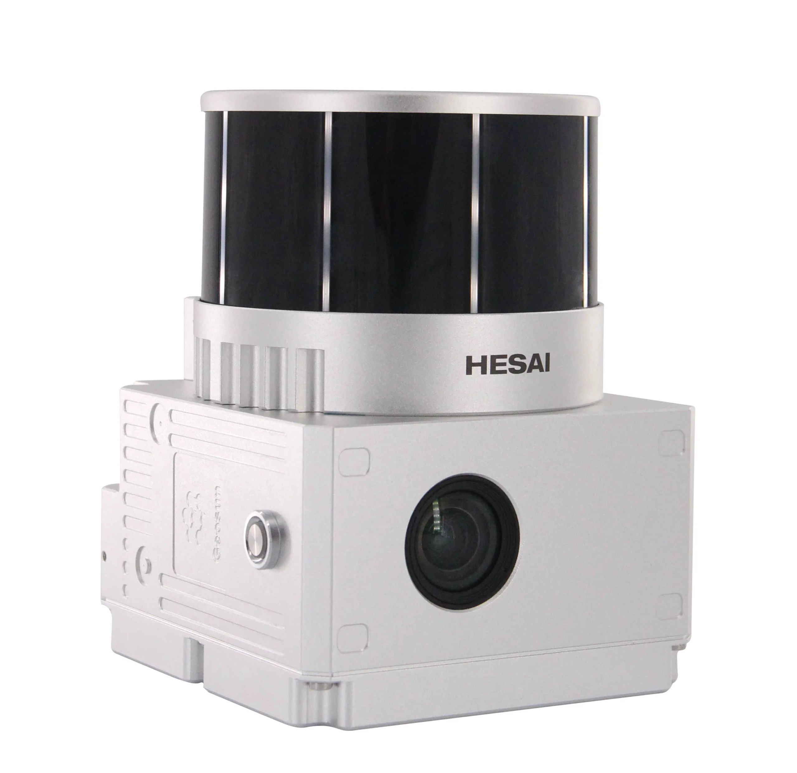
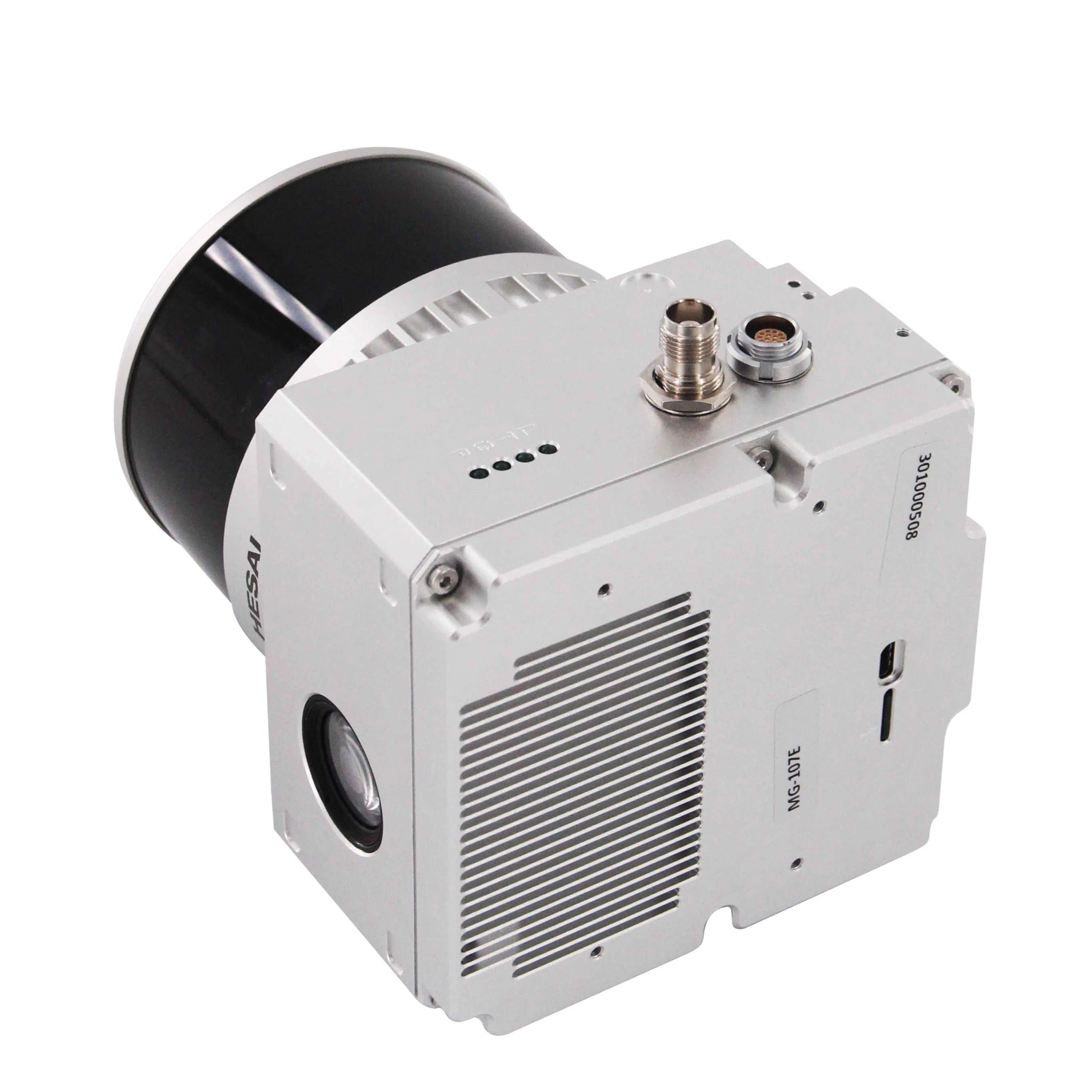
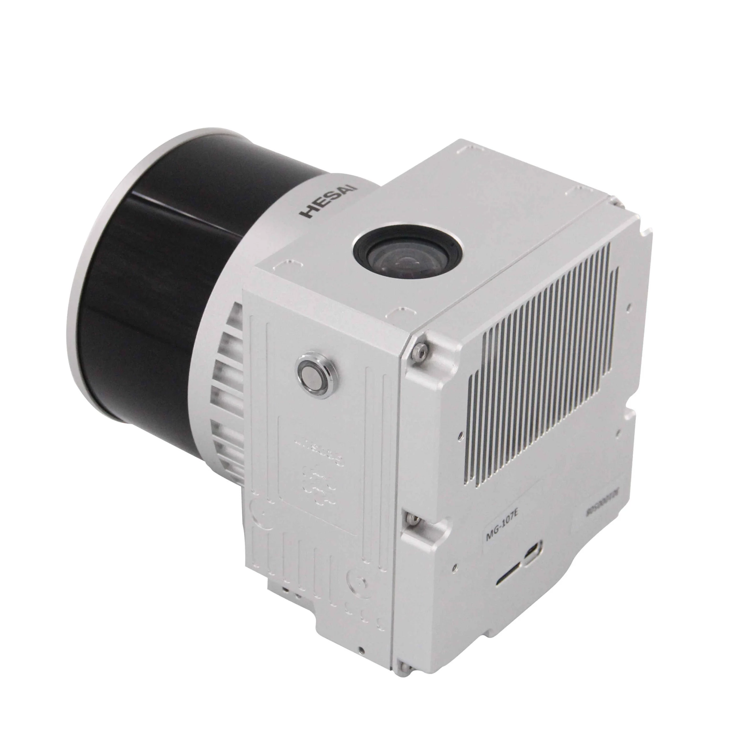
Geosun gAirHawk LiDAR Scanning System GS-100V
gAirHawk GS-100V is a kind of short-range, compact LiDAR point cloud data acquisition system, integrated HESAI XT16 laser scanner, GNSS and IMU positioning and attitude determination system, and storage control unit, is able to real-time, dynamically, massively collect high-precision point cloud data and rich image information. It is widely used in the acquisition of 3D spatial information in surveying, electricity, forestry, agriculture, land planning.
Spesifikasi
| LiDAR Scanning System gAirHawk GS-100V | ||
| Item Name | System Parameters | |
| GS-100VParameters | Weight | 1.4kg |
| Measuring accuracy | Less than 0.1m @100m | |
| Working temperature | -20℃~55℃ | |
| Power range | 12V- 24 V | |
| Consumption | 20W | |
| Carrying Platform | Drone and Vehicle | |
| Storage | 64GB storage, maximum support 128GB TF card | |
| Lidar Unit
|
Measuring Range | 80m@10% Reflectivity, max range 120m |
| Laser class | 905nm Class1 (IEC 60825-1:2014) | |
| Channel | 16-Channel | |
| Range accuracy | ±1cm (typical Value) | |
| Scanning frequency | 10HZ, 20HZ | |
| data | Double echo 640,000 Points/Sec | |
| FOV | 360°, adjustable | |
| Laser sensor | HESAI XT16 | |
| POS Unit | Update frequency | 200HZ |
| Heading accuracy | 0.040° | |
| Pitch accuracy | 0.015° | |
| Rolling accuracy | 0.015° | |
| Position accuracy | ≤0.05m | |
| GNSS signal type | GPSL1/L2/L5 GLONASSL1/L2 BDS B1/B2/B3 GAL E1/E5a/5b | |
| Pre-processing software | POS software | Output information: position, speed, attitude |
| Point cloud software | Output point cloud data format: LAS format, custom TXT format | |
| Camera (built-in) | Trigger Event | Distance or Time trigger |
| Effective Pixel | 26 Mega Pixel & 83 Degree FOV | |
Video
Dokumen
 Pusatdrone.com
Kompleks Ruko 66, Jl. Pinangsia Raya Ruko No.66F, Pinangsia, Kota Jakarta Barat
-
lokasinya nggak jauh dari stasiun Jakarta Kota, ownernya helpful banget dan care membantu memperbaiki propeler drone saya....Terimakasih banyak koko
-
pelayanan ramah dan sangat baik, barang yang dijual original no kw kw, dan sudah berkali-kali berlangganan tidak ada masalah apapun. sangat bertanggungjawab, best !
-
Respon dari tim pusat drone sangat cepat dan ramah. Setiap pertanyaan langsung dijawab dengan jelas, baik melalui chat maupun telepon. Jadi lebih yakin sebelum memutuskan untuk beli/servis.
-
-
Pokoknya recommended! harga oke, barang sesuai, pengiriman cepet,adminnya fast respon dan ramah parah.pokoknya the best deh!
-
-
Layanan mantap, memuaskan.keren banget
-
Keren
-
Pelayanan nya baik
-
-
-
wah mantep ini tempatnya, keren kacau!!
-
the best
-
Layanan yang sangat bagus dan produknya berkualitas
-
Kesini di rekomendasi teman, krn super fast respon dan sales consultant nya helpfull banget, super detail jelasin product, Gokil!!
-
melayani sangat baik
-
-
Saya sangat dibantu oleh team pusat drone, dari konsultasi sesuai kebutuhan, pelayanan terbest, harganya juga sangat terjangkau, rekomend banget pokoknya


